
Published on 8/25/2026
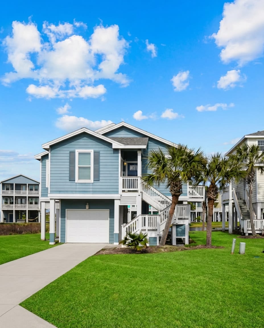
Coastal real estate has always carried a contradiction at its centre. The same proximity to water that makes a property desirable, the views, the access, the sense of living at the edge of something vast, is also the characteristic that introduces the risk. What has changed in 2025 and 2026 is not the existence of that tension but the speed at which markets are beginning to price it. The evidence is now granular enough, and the financial exposure significant enough, that the question of what rising seas are doing to property values has moved from environmental concern to investment calculus. At TheHouse48, this is a calculation that belongs in every serious coastal property conversation.
The Numbers That Have Already Moved
The price signal from sea level risk is no longer theoretical or future-dated. Housing markets already appear to reflect long-term sea level rise exposure in current property prices, according to research published by the Richmond Federal Reserve in November 2025, which linked high-resolution inundation maps with transaction data to show that the repricing is already underway in the most exposed markets. In Miami-Dade County, sea level rise contributed to over $465 million in lost real estate market value between 2005 and 2016, a figure that represents the early portion of a much larger repricing cycle now accelerating. The First Street Foundation's analysis of 17 US states found that Florida alone has seen $5.4 billion in relative home value losses attributable to flood risk and sea level exposure, followed by New Jersey at $4.5 billion and New York at $1.3 billion. A separate academic study published in 2026 found that for every 1% increase in sea level rise, house prices in coastal cities drop by 3.18%, with island-nation properties showing even greater sensitivity. Sea level has already climbed eight inches since 1900, with three of those inches occurring since 1993, and projections model a further three to seven inches by 2030 and potentially 4.3 feet by 2100.
The Scale of What Is at Risk
The forward-looking exposure figures are where the investment implications become most consequential. Within the next 30 years, which is the lifespan of a typical mortgage issued today, as many as 311,000 coastal homes currently worth $117.5 billion are at risk of chronic flooding defined as tidal inundation occurring 26 or more times per year. By the end of the century, roughly 2.5 million homes and businesses currently worth more than $1 trillion could face that level of risk under a high sea level scenario. The adaptation cost projections compound this picture. Municipal costs for coastal adaptation are projected to grow from $6 billion in 2005 to $52 billion by 2050, and those costs are ultimately reflected in local taxes, infrastructure levies and insurance requirements that affect all property owners in coastal jurisdictions, not just those in the immediate flood zone.
The Paradox That Has Protected Prices Until Now
The most instructive finding in recent coastal property research is why prices have not fallen further and faster given the scale of documented risk. Policy and market forces have been actively delaying the repricing that the physical evidence would otherwise demand. Beach nourishment subsidies funded by federal and state governments maintain shoreline integrity at public expense. Flood insurance programs, including the National Flood Insurance Program in the US, have historically priced risk below its actuarial cost, transferring the financial exposure from property owners to taxpayers and removing the market signal that would otherwise push prices down. Tax advantages for high-income coastal property owners have made the financial case for holding even at-risk assets sufficiently attractive to sustain demand. The result is that coastal property prices have continued rising in many markets even as the physical risk has grown, creating a growing divergence between market price and risk-adjusted value that researchers describe as a delayed but inevitable correction.
What Buyers Need to Do Differently Right Now
The practical protection available to coastal property buyers in 2026 is better than at any previous point, simply because the data has become more specific. FEMA flood maps, First Street Foundation's Flood Factor tool and NOAA sea level rise projections can now be applied at the individual property level rather than at the postcode or district level, allowing a buyer to understand the specific inundation timeline for a given address under different emission scenarios. The questions that belong in every coastal due diligence process include whether the property sits within a FEMA Special Flood Hazard Area and what the current flood insurance premium is, whether the insurer has indicated an intention to renew at any price or has designated the area as increasingly uninsurable, what the municipality's coastal adaptation plan is and how it is funded, and whether the sellers are disclosing any prior flood history that would affect both the physical condition of the structure and the insurance underwriting.
TheHouse48 believes that coastal property remains one of the most compelling categories in global real estate and one of the most consequential to buy without conducting the right analysis first. The sea level story is not a reason to avoid the coast. It is a reason to know exactly which part of the coast you are on, and what the water is already doing to its price.
Sign up for our emails and be the first to know about special offers.
Sign In
Comments